⚡ WEATHER FRONTS: WHERE AIR MASSES COLLIDE
PAGE 1 OF 5, THE BATTLE LINE IN THE SKY
COLLISION ZONE
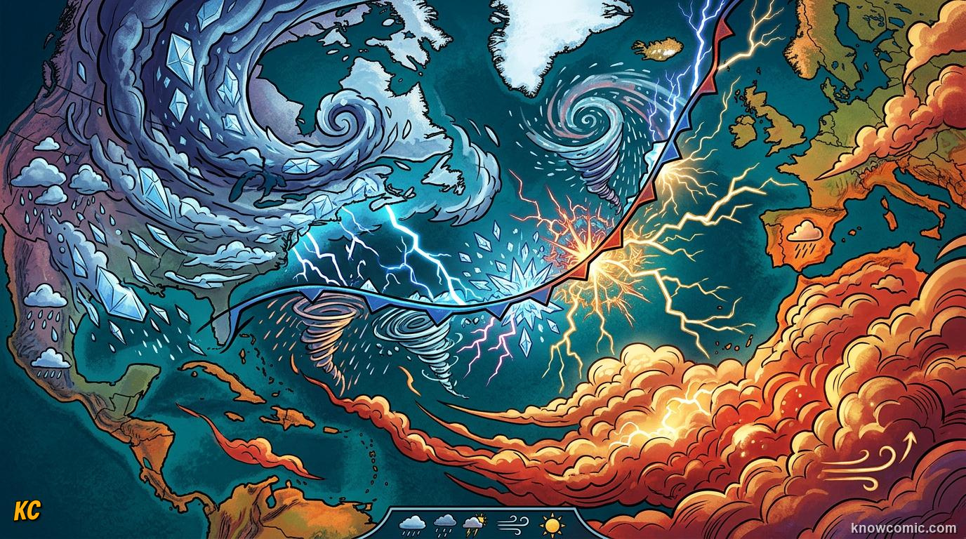
WHAT IS A WEATHER FRONT?
Topic 10 showed that huge air masses carry one temperature and moisture mood across the map. A weather front is the boundary line where two different masses meet and push against each other. Think of it like the edge where a cold blanket and a warm blanket overlap on a bed. Along that edge, warm and cold air cannot mix instantly. Instead, one mass slides over or under the other. That forced lifting makes clouds, wind shifts, and rain. Forecasters draw fronts on weather maps with special symbols so you can see where the next big change is heading. When a front passes your town, the temperature, cloud cover, and rain often flip within hours or a day.
🗺 ON THE MAP
Fronts are not walls you can see from the ground. They are sloping zones in the atmosphere where air properties change quickly over a short distance.
CLASH!
BEFORE
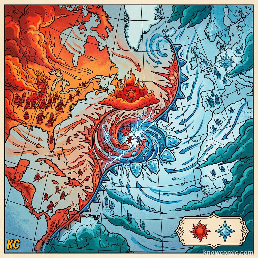
☀ Deep inside one air mass, the weather can stay calm and similar for a whole day or longer.
🌬 Wind direction and cloud type often stay steady until a front arrives from another region.
🌬 Wind direction and cloud type often stay steady until a front arrives from another region.
AFTER
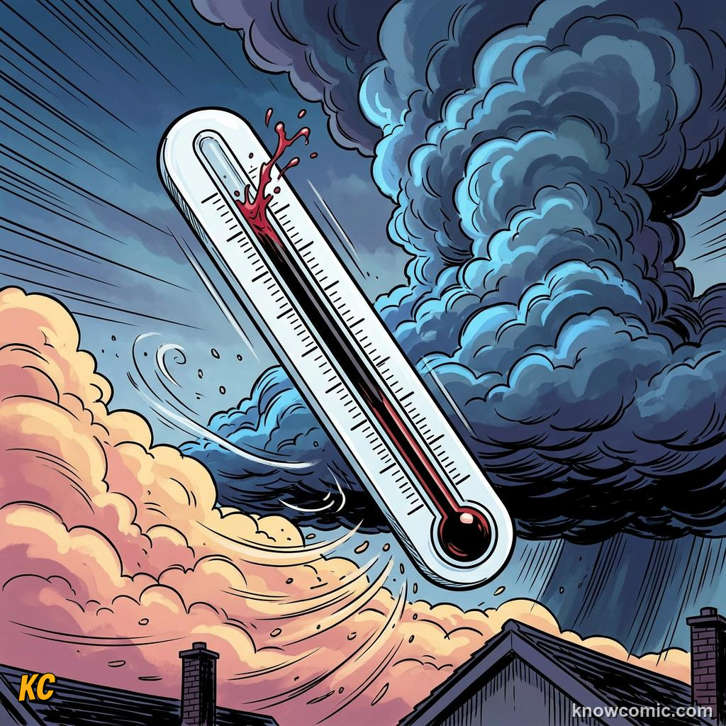
🔄 Once a front passes, you are living inside a new air mass with a fresh temperature and humidity feel.
📺 TV weather charts use blue triangles and red bumps to mark cold and warm fronts moving toward you.
📺 TV weather charts use blue triangles and red bumps to mark cold and warm fronts moving toward you.