🏔️ FLUVIAL LANDFORMS: UPPER COURSE
PAGE 1 OF 5 — THE RIVER'S YOUTH
UPPER COURSE
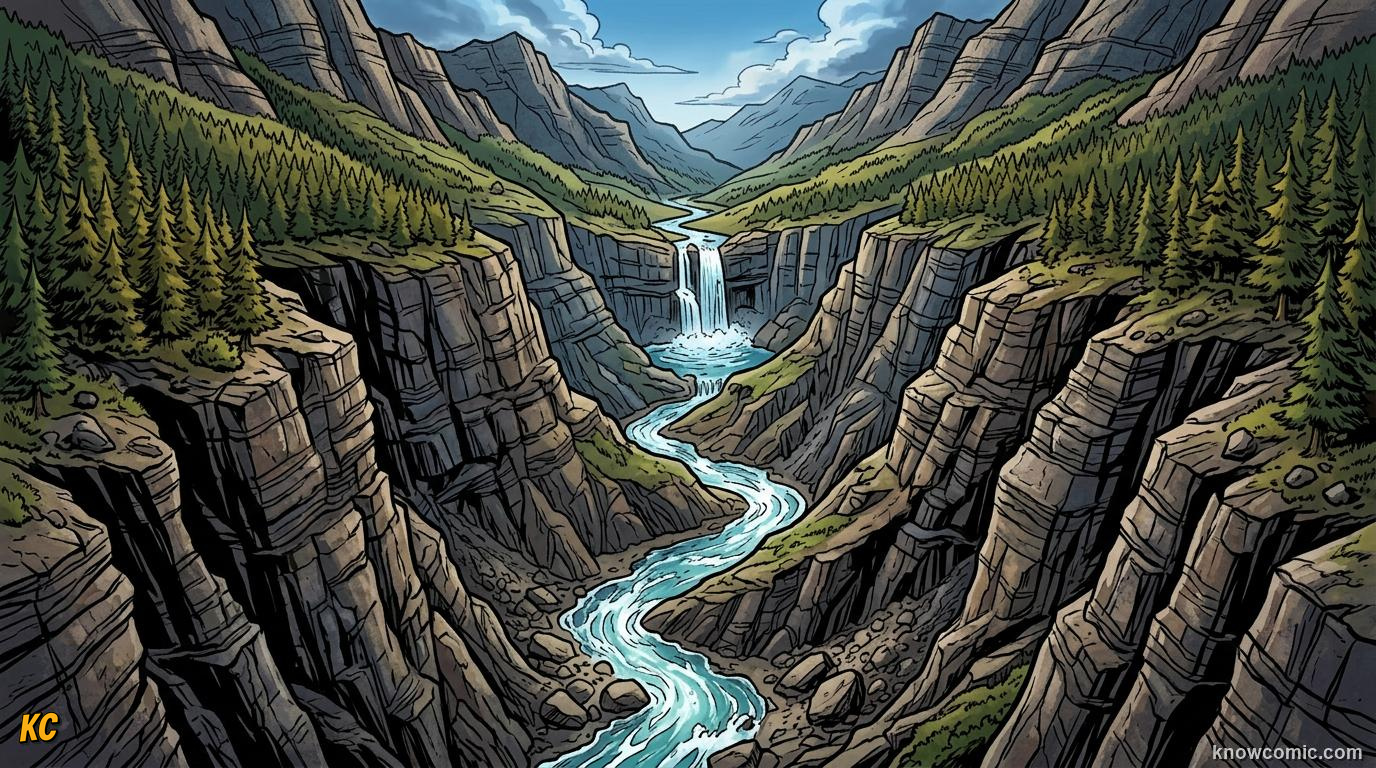
WHERE RIVERS BEGIN TO CARVE
The upper course of a river lies close to its source, often in upland mountains or moorland where rainfall and meltwater first gather into a stream. Here the channel is narrow, shallow, and flows over a steep gradient, so the river has high potential energy and moves quickly downhill. In this youthful stage, vertical erosion (downcutting) dominates over lateral erosion and deposition. The river cuts downward into bedrock, deepening its valley rather than widening it. Weathered rock fragments from slopes, broken down by processes you studied in Topic 9, are picked up and transported downstream. On the Bradshaw Model, the upper course represents the river's youth: high gradient, turbulent flow, and erosional landforms such as V-shaped valleys and waterfalls. As the river matures downstream, gradient falls and lateral processes become more important.
⬇️ VERTICAL VS LATERAL
Vertical erosion deepens the valley floor. Lateral erosion widens the valley sides. In the upper course, vertical erosion is dominant because the steep gradient gives the river energy to cut down.
YOUTH!
STEEP GRADIENT
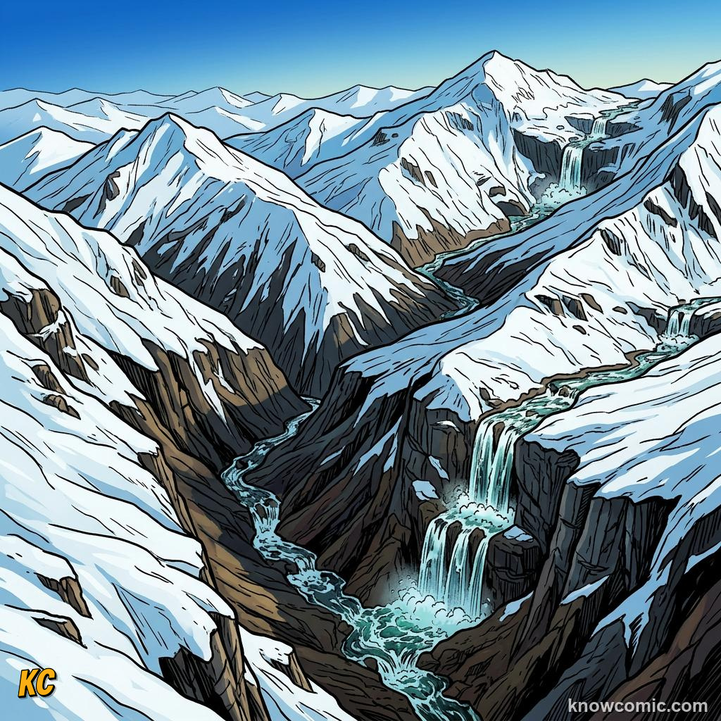
- A steep gradient means the river drops height quickly over a short horizontal distance, increasing flow velocity.
- High velocity gives the river enough energy to erode hard upland bedrock and transport large boulders.
- Upper course channels are often straight, shallow, and littered with angular rocks from mass movement on valley sides.
SOURCE & TRIBUTARIES
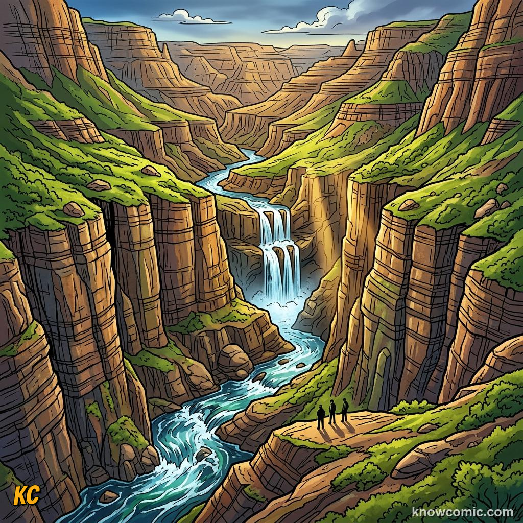
- The source is where a river begins, often at a spring, melting snow patch, or bog on high ground.
- Small tributaries join the main channel, increasing discharge but keeping the overall gradient steep.
- Weathered material from valley sides enters the channel and becomes part of the river's load, linking erosion on land to fluvial transport.